CategoryCloud ServiceIQGeo supplies geospatial network management software; Deepomatic adds computer vision for automated field data capture and verification.
RegionUnited Kingdom France Global Telecom AND Utility MarketsThe acquisition tests whether AI field verification can make network digital twins more current, trusted and operationally useful for telecom and utility operators.
Signal FocusNetwork Digital Twins Field Operations AND Computer Vision AcquisitionIQGeo supplies geospatial network management software; Deepomatic adds computer vision for automated field data capture and verification.
Content TypeSignal BriefingThe acquisition can improve operator network records if visual field verification becomes embedded in daily design, build and maintenance workflows.
Primary DomainTechnologyThe acquisition can improve operator network records if visual field verification becomes embedded in daily design, build and maintenance workflows.
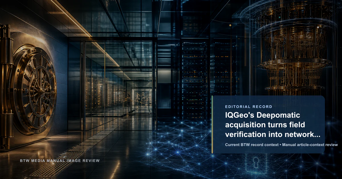
TopicNetwork Digital Twins Field Operations AND Computer Vision AcquisitionIQGeo's August 2025 completion of the Deepomatic acquisition matters because it connects geospatial network management with computer-vision field verification. IQGeo gets a way to turn field photos and closeout checks into verified inputs for live network digital twins; Deepomatic gets distribution through a telecom and utility software platform. The risk is integration: operators only benefit if computer vision becomes embedded in daily field workflows rather than sitting beside network inventory as another quality-control tool.
ImpactMediumThe acquisition can improve operator network records if visual field verification becomes embedded in daily design, build and maintenance workflows.
ConfidenceiHigh confidence (94%)Direct public sources
IQGeo said on 4 August 2025 that it had completed the acquisition of Deepomatic, an AI computer vision software developer focused on automated field data capture and verification. The development is best read as a network-operations acquisition, not just a software portfolio update.
The control surface is the gap between the field and the network record. IQGeo sells geospatial software for telecom and utility operators that need accurate, live digital twins of physical infrastructure. Deepomatic adds image-based validation: photos taken by field teams can be checked automatically so build, connection, repair and maintenance tasks close with better evidence and fewer manual reviews.
That combination matters because network digital twins fail when field reality and system-of-record data drift apart. IQGeo says Deepomatic's technology had already been deployed by operators including Virgin Media O2, and that the acquired customer base brings deployment experience across telecom operators. Deepomatic's own material frames the product around quality control at scale for critical infrastructure field work.
The strategic question is whether IQGeo can make computer vision part of ordinary network lifecycle management. If integration works, field imagery becomes a near-real-time data feed for planning, construction, operations and predictive network models. If it does not, the acquisition remains a useful quality-control add-on without changing how operators trust their digital twins.