
Summary
- The British Library’s February 2012 Georeferencer pilot let visitors match locations on historic maps with reference maps, producing coordinates for geographic discovery.
- Immediate overlays, contribution recognition and library correction turned that small task into a working process. Five volunteers performed half the pilot’s work, according to the project’s case study.
The software asked for at least three points. On one British Library map, a contributor supplied 352. A modest request to help an old map find its place had clearly found an attentive reader. The detail appears in the project team’s November 2012 account of Georeferencer, and captures something a progress bar struggles to show: how closely a person might choose to look.
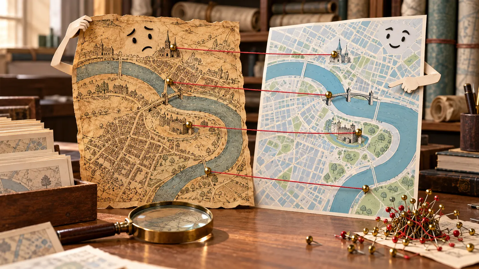
The task was to match places on a historic scan with the corresponding locations on a reference map. Those pairs, known as control points, gave the software a way to align the old image with geography. A scanned sheet could then become an overlay, and its coordinates could help a search service find it by location. The map was acquiring an address useful to another machine.
The British Library opened its pilot in February 2012. Its collections included the Ordnance Survey Drawings of England and Wales and the Crace Collection of London maps. The authors’ case study, preserved in the library’s repository, explains that these scans were already online. Finding them still depended largely on textual descriptions. Readers had been requesting geographical finding aids since the material went online in 2003.
That left a useful piece of work for the website’s visitors. The project announcement of 15 February 2012 offered a randomly assigned map or a chosen sheet from the Online Gallery. A visitor could start with a place they cared about or let the library choose their afternoon’s destination.
The two-panel workspace put the historical map beside reference mapping. A place-name search helped locate the area; zooming helped locate a detail. The designers restricted gazetteer results to the United Kingdom because familiar British names also turned up in other countries. Geography had supplied the software with a fairly old problem: several places answering to the same name.
The account form waited until the work was saved. Contributors could then use an existing Google, Facebook or Twitter account, or create an account with an email address. The case study describes a deliberate attempt to reduce registration friction. A person first got to handle a map and discover whether the activity interested them.
Saving also produced a visible reward. The historical sheet appeared over Google Earth imagery in the browser, which required the Google Earth plug-in. Another tool, MapAnalyst, displayed inconsistencies with red circles and a distortion grid. Participants could inspect how their chosen points fitted together. The result of a few clicks had become something they could examine and improve.
The authors reported that roughly 90 participants finished the first pilot in less than a week. The top five completed half the work. Those five subsequently visited the library, where staff could thank them and learn about their experience. The public invitation reached a crowd; much of the resulting labour came from a small group who stayed with it.
Librarians still had a job after the rapid completion. The case study describes staff manually correcting errors found through the reporting and visualisation tools, and calls that work relatively intensive. The intended product was geographic metadata suitable for finding maps. Coordinates from the project reached the Old Maps Online search portal within days, giving the images another route to readers.
The second British Library batch, released in October 2012, changed what counted toward a contributor’s score: points entered replaced maps completed. About 700 maps were georeferenced in six days, the November account reports. The counter had started recognising more of the work inside each sheet.
Putting a scan on a website gave readers a picture to inspect. This next round gave their inspection a practical destination: coordinates, feedback, corrections and geographical search. An old map could finally turn up when someone went looking in the right place.
Member Briefing
Deeper Profile Context
Sign in with the right membership level to unlock the full briefing and source notes.
Only for Strategic Circle
Strategic Circle
Open to all readers. Unlock profile briefings after joining and signing in.
Join Strategic CircleOnly for Leadership Alliance
Leadership Alliance
For qualified IP-asset owners and management; sign in to unlock alliance briefings.
Join Leadership Alliance