
Summary
- USGS's April 2008 plan paired free electronic access to the Landsat archive with automatic standard processing and the retirement of paid processing choices.
- The millionth free scene was downloaded in August 2009; USGS reported exceptional demand for some of its oldest images as land-change analysis grew.
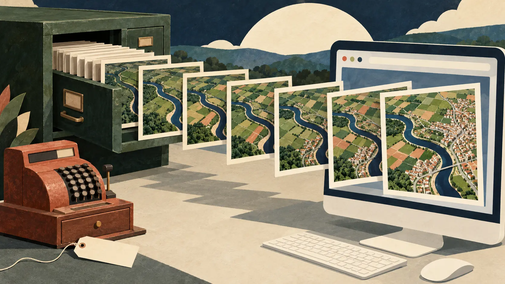
An old satellite picture has one advantage over a new one: it remembers what the place looked like before. By August 2009, the oldest parts of the Landsat archive were enjoying an unusually lively retirement. USGS reported unprecedented downloads of images more than three decades old. Looking backwards was becoming a major use of a service whose access rules had just moved forward.
The agency's 20 August announcement marked the millionth free scene, downloaded three days earlier. It singled out land-surface change detection as an emerging primary use. An archive becomes a different tool when people can assemble the years they need without making each additional picture a purchasing decision.
The old transaction had been substantial. A 2010 NASA–USGS conference record described the former charge as $600 per Landsat scene, covering fulfilment of the request. Its authors, James R. Irons and John L. Dwyer, connected the move to free distribution with a second decision: end the requester's processing options and produce data with a consistent recipe. The cash register's retirement came with a reorganisation behind the counter.
That arrangement was visible in the April 2008 rollout announcement. A user would select an archived scene, which would be processed automatically to a standard product and staged for electronic retrieval. The plan covered scenes regardless of cloud cover and phased out the paid options for processing to different parameters. EarthExplorer and GloVis supplied the preview and download routes. The change unfolded across 2008–2009, bringing the historical collection into a repeatable online service.
This was an important exchange for the operator. A shared recipe made the output predictable while removing a menu of individual processing requests. For the user, the route became search, select and retrieve. The Web joined an archive, a processing system and a delivery mechanism into something people could repeatedly use from their own computers.
The details still mattered. An April 2011 USGS fact sheet described standard GeoTIFF output and consistent radiometric processing. It also explained that some scenes lacked the ground-control or elevation information needed for the usual precision and terrain correction, so they received the best available correction level. A standard service could deliver products whose documented properties differed. Those properties travelled with the scientific usefulness of the picture.
The million downloads counted scenes delivered. The more revealing observation was what people wanted from the shelves: older views, useful for comparing the same land over time. Free access and routine fulfilment made that kind of question easier to pursue. Landsat's photographs had been recording change for decades. Removing the checkout helped readers turn the pages.
Member Briefing
Deeper Profile Context
Sign in with the right membership level to unlock the full briefing and source notes.
Only for Strategic Circle
Strategic Circle
Open to all readers. Unlock profile briefings after joining and signing in.
Join Strategic CircleOnly for Leadership Alliance
Leadership Alliance
For qualified IP-asset owners and management; sign in to unlock alliance briefings.
Join Leadership Alliance