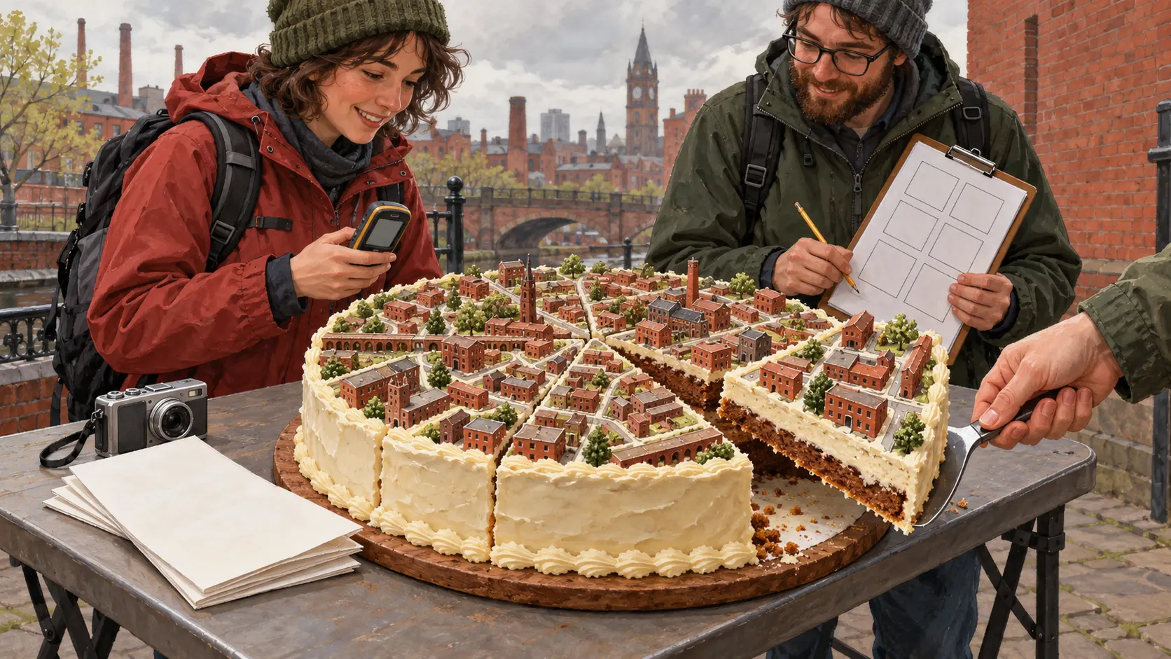
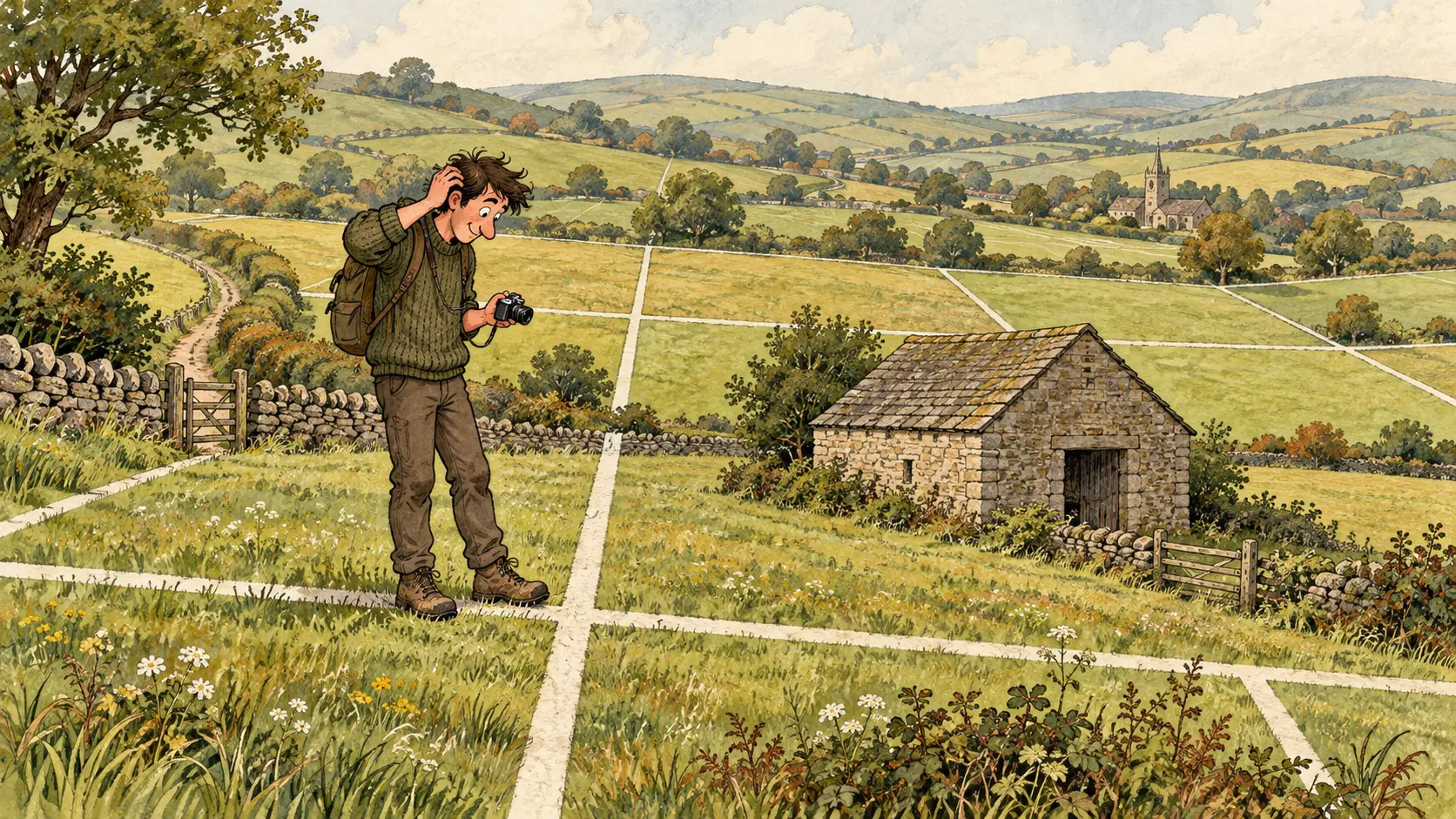
Summary
- Geograph’s 2016 guidance required a qualifying Geograph image to place photographer and subject in the same kilometre square and show geographic context. Different squares produced an automatic Cross Grid tag.
- In November 2016, the site replaced its troublesome Detail label with Close Look and Extra. More descriptive labels explained accepted pictures while retaining the existing Geograph criteria.
A long lens could bring a distant hill closer. It could not bring the photographer's boots into the hill's map square.
That distinction mattered on Geograph, the online collection of geographical photographs of Britain and Ireland. Its November 2016 guidance required photographer and subject to occupy the same one-kilometre square for an image to qualify as a Geograph. The picture also had to show enough of the place to explain its geographical setting. Eligibility for Geograph points began with that classification; the contributor's and square's previous records determined the award.
The website had found a way to ask a photograph where its photographer had been.
The view came with two addresses
The project's knowledgebase explains the purpose of the location rule. It wanted people to visit squares. Without that requirement, somebody on a mountain or tall building could use a telephoto lens to collect views into several surrounding squares from one convenient perch.
Those views could still contribute useful pictures. The 2016 guidance gave them a specific label, Cross Grid, calculated automatically from the subject and photographer grid references. Two correctly recorded locations could put an image in this category.
In a May 2017 answer, Penny Mayes addressed a contributor's question about encountering Cross Grid for the first time. The earlier label for such an image had been the broad Supplemental category. A new word on a photograph could make an old distinction newly visible.
The tram needed its surroundings
Coordinates could settle one question. Whether a picture showed enough geographical context required another kind of examination.
The November guide compared two Chris Coleman photographs of trams at Auchenshuggle terminus, both assigned to NS6362. Its authors classed one as Close Look because too little road and trees appeared around the mobile subject. They classed the other as a Geograph because the road and trees supplied sufficient context. The tram remained a tram. The useful evidence about the place around it changed the decision.
That priority was present in Gary Rogers's February 2005 introductory guide. His example square at Billinge had a road junction, a church, a school among houses and farmland to the east. The photographs were there to explain what that piece of the map contained.
A pleasing portrait of a vehicle and a useful account of its surroundings could ask different things of the camera. Geograph made room for both kinds of contribution, then needed a vocabulary that explained their different jobs.
Detail was doing too much work
The vocabulary itself required repairs.
Guidance published on 6 November 2016, and updated on the 15th, described a change effective on the 10th. The Detail tag, introduced that May, had proved unsatisfactory for some images. After consultation it was replaced by Close Look and Extra.
Close Look covered close-ups, parts of things and subjects whose surrounding context was too limited for the Geograph category. The guide explained that cropping, a telephoto lens or moving the camera closer could all produce such a view. Distance alone would be a poor reading of the label.
Extra provided room for other useful additions to the collection, including accepted silhouettes, sunsets and cloud views. The update aimed to give contributors clearer feedback and make searching more useful. The criteria for a Geograph were to remain intact; moderators considered the other relevant categories after deciding that an image did not meet them.
For a collection built from people going outside and supplying observations, a label was a very short reply to a substantial contribution. It explained what the site had received and how that work fitted its purpose. The picture might be lovely. Geograph also wanted to know what place it showed, how much of that place survived the framing, and where the person holding the camera had stood.
Original records
Geograph's November 2016 image-tag update, the image-tag knowledgebase, including dated 2017 answers, and Gary Rogers's February 2005 guide.
Member Briefing
Deeper Profile Context
Sign in with the right membership level to unlock the full briefing and source notes.
Only for Strategic Circle
Strategic Circle
Open to all readers. Unlock profile briefings after joining and signing in.
Join Strategic CircleOnly for Leadership Alliance
Leadership Alliance
For qualified IP-asset owners and management; sign in to unlock alliance briefings.
Join Leadership Alliance