
Summary
- HMLR’s illustrative one-hectare threshold would include titles covering 92.8% of registered land while catching 4.9% of all titles. Those percentages use registered area and title count as their denominators; neither counts owners or homes.
- HMLR says it lacks a unique identifier for every landowner, so the proposed test applies to each title rather than adding an owner’s holdings together. That makes the threshold easy to calculate and the resulting ownership picture incomplete by design.
One hectare, two very different denominators
One hectare is a little larger than a football pitch. In HM Land Registry’s consultation, it is also a proposed line between land that enters a new public dataset and land that stays outside it. The line looks simple. The arithmetic underneath it is not.
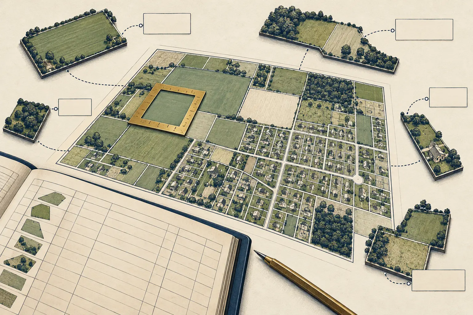
At a threshold of at least one hectare per title, HMLR estimates that the new dataset would cover 92.8% of registered land, drawn from 4.9% of titles. The same threshold would catch 1.1% of titles containing a single home. At half a hectare, the estimates rise to 94.5% of registered land and 6.5% of titles, including 1.6% of single-home titles. At five hectares, the share of registered land falls to 83.3%, while the selected titles fall to 2.0% and single-home titles to 0.4%.
The comparison matters because “most of the land” and “most of the properties” are different public-policy claims. A few large titles can cover huge areas. A great many homes sit on much smaller titles. The land-area headline can therefore look nearly comprehensive while the dataset contains only a small slice of the register.
These are HMLR’s illustrative estimates, not a count of owners, ultimate controllers, households, or every parcel in England and Wales. They describe registered land. The consultation’s table also says it does not account for owner details already included in the UK and Overseas Companies dataset. The published figures should travel with those denominators attached. A percentage without its unit is a map legend that has wandered off and joined a campaign.
The threshold decides which evidence becomes easy to query, plot, compare and reuse. That is why the consultation asks respondents to choose among several area thresholds, and whether titles containing one residential address should face a higher floor.
The register sees titles; the proposal cannot total an owner
HMLR identifies the design limit itself: it does not have a unique ID for every landowner. It therefore cannot set the new dataset’s threshold by adding the area held by one person across all that person’s titles. The proposal uses area measured title by title, with a possible filter based on whether a title contains a residential address.
That changes who qualifies. Imagine, purely as arithmetic, one person holding ten separate freehold titles of 0.8 hectares each. The total is eight hectares, but none crosses a one-hectare per-title line. Another owner with one title of 1.1 hectares crosses it immediately. The land totals differ by less than three hectares; the dataset classification goes in opposite directions.
Researchers may match some records by name after publication, but name matching supplies no reliable person-level key: spellings vary, organisations use different legal entities, and a titleholder may differ from the beneficial owner or controller. The consultation does not publish an estimate of how often separate titles can be matched confidently; a disclosed matching method and error rate would change how much weight an ownership map deserves.
That distinction puts a ceiling on the claims the dataset can support. It may become a strong instrument for identifying large registered parcels, assembling development evidence and seeing how title-area patterns change over time. It cannot be presented as a complete account of who controls land across a portfolio unless the data model supplies a defensible way to join those titles—and states which relationships it actually proves.
The one-home figure makes the privacy problem concrete. At one hectare, HMLR’s table says 1.1% of titles containing a single home meet the area test. It counts title records, never people, owner-occupied homes or private households. Some titles may belong to companies or other bodies. HMLR asks whether a higher threshold should apply to these titles and lists possible alternatives of one, five or ten hectares. That is a separate policy choice, not a small-print adjustment to the main threshold.
“Open” now has three different doors
The consultation is not proposing one universal access switch. It sketches several routes, each with a different user, record and decision-maker.
First, the public could use a new mappable dataset of significant freehold holdings, alongside existing company-ownership data. HMLR says the new dataset is intended to cover most registered land while excluding almost all home ownership. At selected commercial or significant holdings, the proposal would also let any user inspect the detailed title register without charge. Those registers can include correspondence addresses, leases, restrictive covenants, easements, notices and charges—not just an owner’s name. HMLR proposes proportionate limits, including restrictions on bulk access and automated extraction.
Second, public-sector users could receive cost-free viewing access across all titles, including residential ones. The consultation says access would be governed by terms or data-sharing agreements. A public employee would need to confirm that a proposed use is lawful, necessary and proportionate and connected to a legitimate public function. Official copies needed to buy, sell, lease, mortgage or transfer land remain subject to the ordinary fee.
Third, a journalist, academic, regulator or other public-interest researcher could apply for limited access to data that may include residential registers. HMLR proposes an evidenced public-interest use case, an assessment rather than automatic entitlement, secure and proportionate use, and checks against misuse or commercial advantage without public benefit. Applications would be considered case by case, with authentication, audit and periodic review among the possible controls.
The official announcement says all titles are publicly accessible now, but most are bought one at a time as £7 PDFs. HMLR already publishes bulk ownership data for corporate bodies covering about 16% of titles and around 30% of land. The proposals would change price, scale and eligibility in different combinations.
“Free” answers the price question. Eligibility, visible fields, bulk reuse, decision time and appeal rights still depend on the rules.
The new power needs a public paper trail
HMLR also asks whether it should gain powers to suppress or restrict access to certain register information where there is clear evidence of significant harm. The consultation mentions personal safety, domestic abuse, harassment, intimidation, vulnerability and national security. It says a suppression power would require legislative change. Separately, service safeguards could include authentication, monitoring, limits on bulk access, opt-outs and reuse conditions.
Making an address or ownership link easier to search can increase risks for people exposed to stalking or abuse. Protecting them is a serious public duty. A power to remove or limit information also changes the public record, while the institution operating the register decides who can inspect it and when an entry leaves general view.
HMLR can protect sensitive residential details while making access decisions auditable. HMLR should publish the criteria for special access and suppression before those powers begin: who may apply, what evidence counts, which fields or titles can be restricted, how long a decision takes, who reviews it, how an applicant appeals and how corrections are recorded. It can report aggregate application, approval, rejection and suppression totals without publishing applicants’ identities or the details that created the risk.
The dataset needs a similar receipt. Every release should state the threshold used, the units counted, whether residential filters applied, the dataset date, the share of land and titles represented, and known limits on matching owners across titles. A correction log should distinguish a changed title record from a revised match between records. Those are different events. The first changes the source register; the second changes an analytical link layered on top of it.
The consultation is open until 22 December 2026. The immediate decision is not simply whether land data should be more open; HMLR already says the register is public. The decision is how large-area data becomes easy to search, which residential details stay behind a purpose test, and what evidence the public can see about those decisions.
One hectare is a tidy rule for one title. It is no substitute for an owner identifier, a definition of control or an accountable access process. If the government wants a map that supports public scrutiny, it should publish what the map counts—and a separate record of who was allowed through each door.
Member Briefing
Deeper Profile Context
Sign in with the right membership level to unlock the full briefing and source notes.
Only for Strategic Circle
Strategic Circle
Open to all readers. Unlock profile briefings after joining and signing in.
Join Strategic CircleOnly for Leadership Alliance
Leadership Alliance
For qualified IP-asset owners and management; sign in to unlock alliance briefings.
Join Leadership Alliance