
Summary
- NASA's December 2004 newsletter reported 100,000 World Wind downloads in its first week online and more than 1,000 data requests a second at a JPL imagery and elevation server.
- The free viewer made exploration inviting. Prepared observations, a working connection and continuing image delivery supplied the world it invited people to explore.
The planet was a hot download. That was NASA's own description of World Wind in December 2004, and the people supplying its pictures had reason to agree. Patrick Hogan, who managed the project, supplied the less comfortable version: “Our servers are on fire.”
The contemporary NASA newsletter, page 11, reported 100,000 downloads during the free program's first week on the Web. Separately, it said the Landsat imagery and elevation server at JPL was receiving more than 1,000 data requests a second. Hogan said NASA was working on more server capacity. Giving everyone a window on Earth had created a substantial queue at the window.
The invitation fitted on a PC
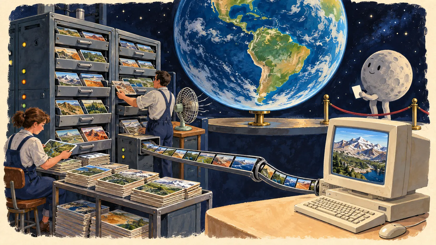
World Wind let a reader move from a globe to closer views of places on it. The appeal was easy to grasp: choose a valley, turn towards a mountain, follow your own curiosity through scientific imagery. A person at home acquired some control over a journey usually arranged by an atlas editor or a film.
The software was a surprisingly small part of that arrangement. In May 2006, NASA reported that the program itself occupied five megabytes; place names and imagery filled out a 50-megabyte download. Developer Chris Maxwell specified a PC with a capable video card and a decent Internet connection. That last item kept the small package in touch with its very large subject.
Downloads counted the distribution of the tool. Image requests described work that continued while people used it. An inviting program could put more readers in front of a globe, then leave its operators with more views to deliver. The download button had a long working day behind it.
The Moon joined the itinerary
By November 2005, NASA was describing lunar exploration using Clementine images from the 1990s, with Hogan reporting 20-metre resolution. Existing observations had acquired a new public entrance. Readers could choose their own destinations among them.
Earth's appearance had its own production history. The same newsletter described the arrival of Blue Marble: Next Generation imagery at 500-metre resolution. NASA's dataset account explains that it combined observations into monthly views of 2004 and improved automated handling of clouds and bad data. Seasons could become visible across a series. The handsome globe rested on decisions about observation periods and image preparation.
The reader controlled where to look; the available datasets supplied what could be seen. This division made the experience both playful and dependent on careful work elsewhere. Someone had to turn observations into usable views and keep those views within reach.
A NASA retrospective published in 2011 traces another step: DOE wanted cross-platform technology in 2005, and its support helped the team develop a Java software development kit and a map server that other applications could use. More developers could decide what to build around the globe.
World Wind's early achievement was to give curiosity a steering wheel. Its busy servers supplied the accompanying obligation. An invitation to explore stays useful for as long as somebody keeps delivering the scenery.
Member Briefing
Deeper Profile Context
Sign in with the right membership level to unlock the full briefing and source notes.
Only for Strategic Circle
Strategic Circle
Open to all readers. Unlock profile briefings after joining and signing in.
Join Strategic CircleOnly for Leadership Alliance
Leadership Alliance
For qualified IP-asset owners and management; sign in to unlock alliance briefings.
Join Leadership Alliance