Summary
- Old Maps Online let readers search by place and date, then follow a result to the institution holding the full map image.
- Its early operation combined emailed catalogue records, geographic bounds and maintained destination links. Hosting the portal and keeping its contents current were separate jobs.
Most visits were brief, the project team reported. For Old Maps Online, that could be a perfectly respectable outcome. Its 2013 report explained the aim: send users as quickly as possible to the library with the map they needed. A website had built its business around a useful goodbye.
The awkward problem came before that departure. A person might know the place they wanted to see and have no idea which library held its old maps. Conventional catalogues asked about titles, authors and publishers. The reader had brought a perfectly reasonable geographical question to a bibliographical quiz.
Point at the place
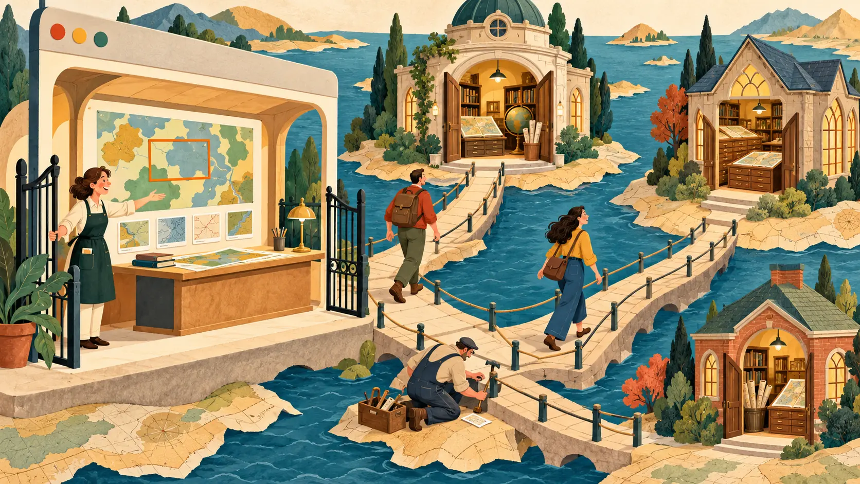
The UK launch announcement of 29 February 2012 described an inviting alternative. Pan or zoom a map, or type a place name. Move a time slider to narrow the dates. The results changed with the view; a thumbnail and its record led onward to the full-sized image at the holding institution.
Five collections supplied the launch. By February 2013, the project report counted nineteen. Readers gained a common doorway into collections whose full images and viewing arrangements remained with their libraries. Old Maps Online kept thumbnails and the information needed to find the next door.
The map needs an address, twice
The creators’ 2012 paper set out a modest minimum for each map: a title, the date of the information it showed, an image address and coordinates for its bottom-left and top-right corners. Those bounds gave the search engine a patch of the world to compare with the reader’s chosen area.
The corner coordinates could be approximate for older maps. Detailed stretching and correction of the image were optional to this search task. A library could contribute an ordinary online scan once the necessary location information was available. The design gave existing collections a practical way in.
The other address was more temperamental. A map could remain safely in a library while its web link acquired the name of a new viewer or a rearranged website section. The paper pressed for stable addresses that survived such renovations. A beautiful thumbnail is a rather cruel invitation when the next click reaches a missing page.
The international portal arrived by email
Most catalogue information came as spreadsheets or similar files attached to emails, the 2013 report says. Available automated feeds often left out the bounding coordinates, even where a library possessed them. Staff worked with the records they could obtain and made them fit the search service. The polished map on the screen had a decidedly ordinary inbox behind it.
Using existing MapRank Search software had allowed an early launch, within four months of funding beginning in November 2011. Much of the fifteen-month project could then go toward recruiting collections and users. That choice made the site useful while there was still funded time to work with its contributors.
Continuity had two bills. The team arranged hosting and software maintenance through January 2018; adding and correcting the catalogue still needed specialist staff. A prepaid server could keep the departure hall open. Someone also had to check where the doors led.
Member Briefing
Deeper Profile Context
Sign in with the right membership level to unlock the full briefing and source notes.
Only for Strategic Circle
Strategic Circle
Open to all readers. Unlock profile briefings after joining and signing in.
Join Strategic CircleOnly for Leadership Alliance
Leadership Alliance
For qualified IP-asset owners and management; sign in to unlock alliance briefings.
Join Leadership Alliance