
Summary
- The 13–14 May 2006 Mapchester event divided the area inside the M60 into numbered survey sectors. Volunteers chose an area and entered their details on a shared sheet at headquarters.
- The broad survey ambition met a largely novice, mostly walking group. Useful contributions depended on field notes, usable GPS records and the editing that followed.
The internet wanted Manchester. Someone sensibly cut it into portions.
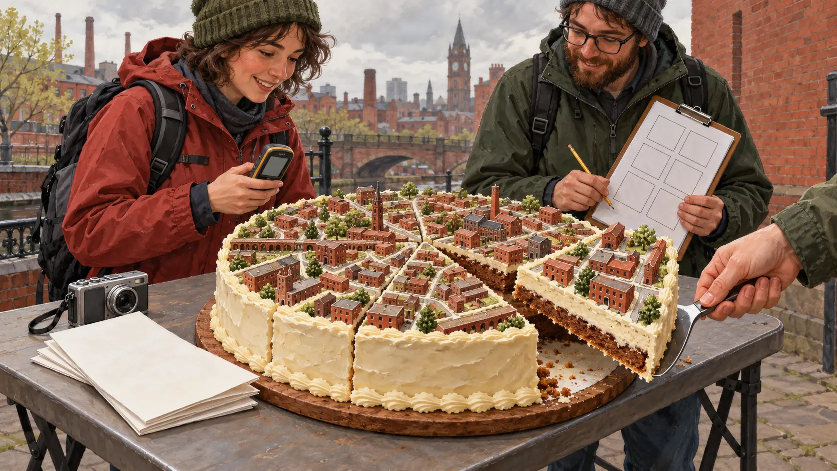
For the Mapchester weekend of 13–14 May 2006, an OpenStreetMap gathering used a circular diagram that made an urban survey look agreeably like lunch. Three rings, divided into numbered sectors, covered the area within the M60. Major roads formed the edges. Choose your portion, put your details on the signup sheet, and go outside.
The sheet lived at the event headquarters provided by Manchester Digital Development Agency on Portland Street. Someone who could not get there could ask another person to add their details. A project building a shared online map had found a perfectly serviceable way to distribute work: two pages of paper and a person who knew where they were.
A generous helping of Manchester
The contemporary event instructions set a large target: streets and major transport paths within the M60. The diagram gave that ambition smaller handles. The middle ring was suggested for Saturday; the centre for Sunday morning, when it would be quieter. The outer ring would follow if time and numbers allowed. Anyone keen to map somewhere beyond the motorway could do so, with a request to let the project know.
This was coordination with room for personal taste. The sheet made a chosen sector visible to others so they could avoid duplicating the survey. A volunteer could take a manageable assignment without accepting responsibility for an entire city.
The event page's account of the weekend shows how the plan met the available legs. Most participants were new to OpenStreetMap and GPS, and most were on foot. Work consequently focused on the central area inside the inner ring road. The organisers had drawn a large plate; the people who arrived determined what could be eaten.
OpenStreetMap's later account of the “cake diagram” associates the circular image with this Manchester event. Its charm lies in how little explanation a slice needs. Its usefulness still depended on the signup sheet being kept in step with the people leaving the room.
The unhelpful kindness of the save button
Once outside, volunteers had another job: bring back records the mapmakers could use.
The 2006 instructions wanted raw GPS tracks containing time and location. Recording a point each second was suggested where the receiver's storage allowed it. If the memory would fill before the morning or afternoon session ended, the interval needed adjusting. Enthusiasm could outrun a handheld device's capacity.
There was also a wonderfully awkward warning about the Garmin units described in the instructions: using their track-saving function filtered the log and discarded time and other useful information. A reassuring button could make a less useful file. The instruction to preserve the raw record was part of the survey, as essential as deciding which street to walk.
A camera could collect road names and signs, provided its clock could be matched to the track. Participants were told to set it to UTC and photograph the GPS clock for calibration. The team could then bring photographs and the track together in JOSM. A notebook or voice recorder could carry the street facts too. The line drawn by a GPS receiver still needed the names and attributes that made it a road on a shared map.
A map acquired at walking speed
Loan receivers and practical instruction opened the weekend to beginners. People without a suitable receiver could record street names and points of interest by hand. Different equipment changed the contribution available.
In his report on 15 May, Steve Coast described the novice crowd and the difficulty eTrex receivers had in Manchester's urban surroundings. The city's buildings could interfere with the very exercise of recording the city. The eventual online map began with people learning a device, reading a sign and deciding whether a recorded point was useful.
Mapchester's neatest trick was to make an enormous invitation small enough to accept. Claim a slice, leave a record of the claim, and return with intact observations. Even a collaborative map needed somebody to walk the portion they had ordered.
Original records
Mapchester's event page and 2006 survey instructions; Steve Coast's 15 May 2006 report; OpenStreetMap's history of the cake diagram.
Member Briefing
Deeper Profile Context
Sign in with the right membership level to unlock the full briefing and source notes.
Only for Strategic Circle
Strategic Circle
Open to all readers. Unlock profile briefings after joining and signing in.
Join Strategic CircleOnly for Leadership Alliance
Leadership Alliance
For qualified IP-asset owners and management; sign in to unlock alliance briefings.
Join Leadership Alliance