Summary
- Walking Papers printed location codes beside a map so an annotated scan could return to the right place for human editing.
- Field Papers expanded the idea into atlases, shared activity and easier editor access; processing queues and long-term maintenance still needed owners.
An online mapping project offering help by post sounds like a joke about broadband. In June 2009 it was part of the pitch for Walking Papers: if you lacked a printer or scanner, the service would help with the paper journey through the mail.
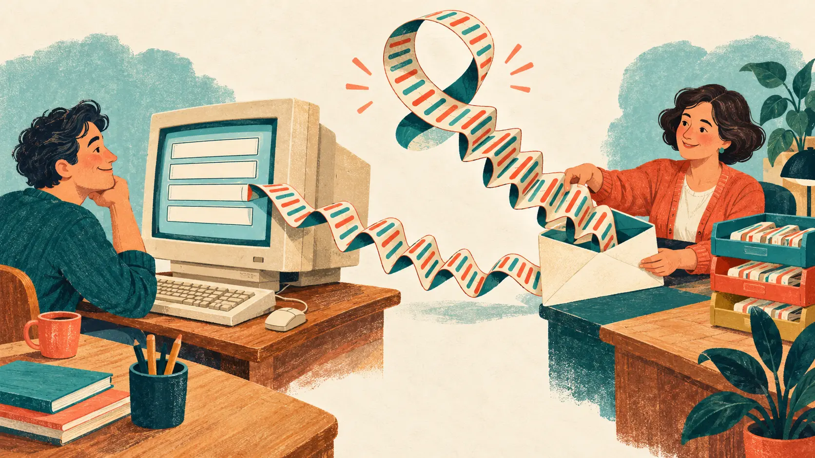
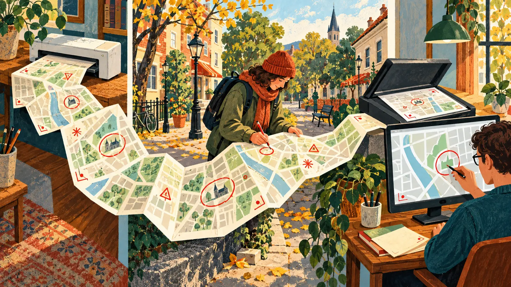
The OpenStreetMap announcement of 5 June described a pleasantly ordinary expedition. Print a map, take it out, write on it, scan it when you return. Codes along the edge let the system locate the scanned sheet geographically. The picture could then sit beneath familiar OpenStreetMap editing tools. A pencil had acquired a return address.
The useful part was the way back
Paper offered a way to collect observations without carrying a GPS device. It also gave the mapper room to scribble. Getting those marks into a shared map involved another piece of work: a person used the returned image to draw and transcribe information. The geographical coding connected the field sheet to the editing surface.
That connection separated jobs which a fully digital field tool might ask one person to perform together. Observing a street and operating a map editor could happen at different times. The 2009 postal offer made the same point at the equipment end: printing and scanning could be somebody else’s contribution.
On 30 May 2012, Stamen launched Field Papers with Caerus Associates. The successor produced multipage atlases, offered several map styles and accepted photographs of annotated pages for transcription. Black-and-white cartography saved ink. Each atlas had a page with an activity and edit history, so colleagues could follow the work. The humble sheet was acquiring office support.
The pencil was ready; the server was not
Stamen’s July 2013 account of the next version supplies the less romantic half of low-tech mapping. USAID had encountered slow atlas creation in the field and asked for performance improvements. Behind the printable page stood a processing system with stalled tasks still hanging around.
The developers introduced a queue manager and cleared failed operations that remained alive. Paper could leave the network once it was printed; first it needed the service to produce it. A proposed interface sound to announce completion never made it into that design, according to the post, because the speed improvements made the proposed waiting interface unnecessary. The map escaped the toaster impression.
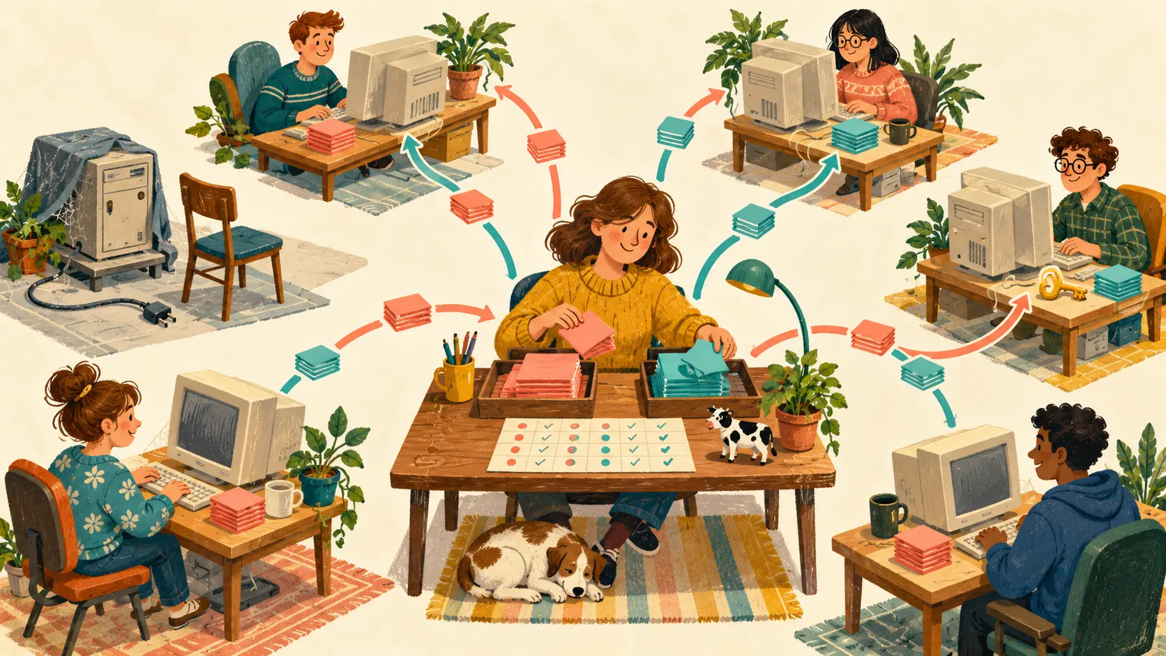
Version 2 also added direct links from scans into the iD and Potlatch editors. Teams could copy an existing atlas, with copies recorded in its activity. They could refresh an atlas after OpenStreetMap updates while retaining the same place, pages and basemap. Copying distributed the assignment; refreshing brought the next expedition a newer starting point.
Somebody has to keep the return address
A joint OpenStreetMap US and Stamen history published in March 2023 credits Michal Migurski with creating Walking Papers in 2009. It records how field experience after Haiti’s 2010 earthquake encouraged multipage atlases. The same announcement introduced OpenStreetMap US’s adoption of Field Papers and a transition plan for sustainable maintenance.
That later handover belongs in this story because paper was only one leg of the trip. Someone still had to render the atlas, accept the returned image, keep its context and support the route into editing. A folded sheet could wait patiently in a pocket. The service that knew where to put it needed people, time and continuing care.
Member Briefing
Deeper Profile Context
Sign in with the right membership level to unlock the full briefing and source notes.
Only for Strategic Circle
Strategic Circle
Open to all readers. Unlock profile briefings after joining and signing in.
Join Strategic CircleOnly for Leadership Alliance
Leadership Alliance
For qualified IP-asset owners and management; sign in to unlock alliance briefings.
Join Leadership Alliance