Summary
- A USGS fact sheet in 2000 described a Massachusetts website that could retrieve station statistics or calculate estimates for a user-selected stream location.
- The convenient click depended on prepared terrain and river data, regional equations and, as the service expanded, local funding agreements.
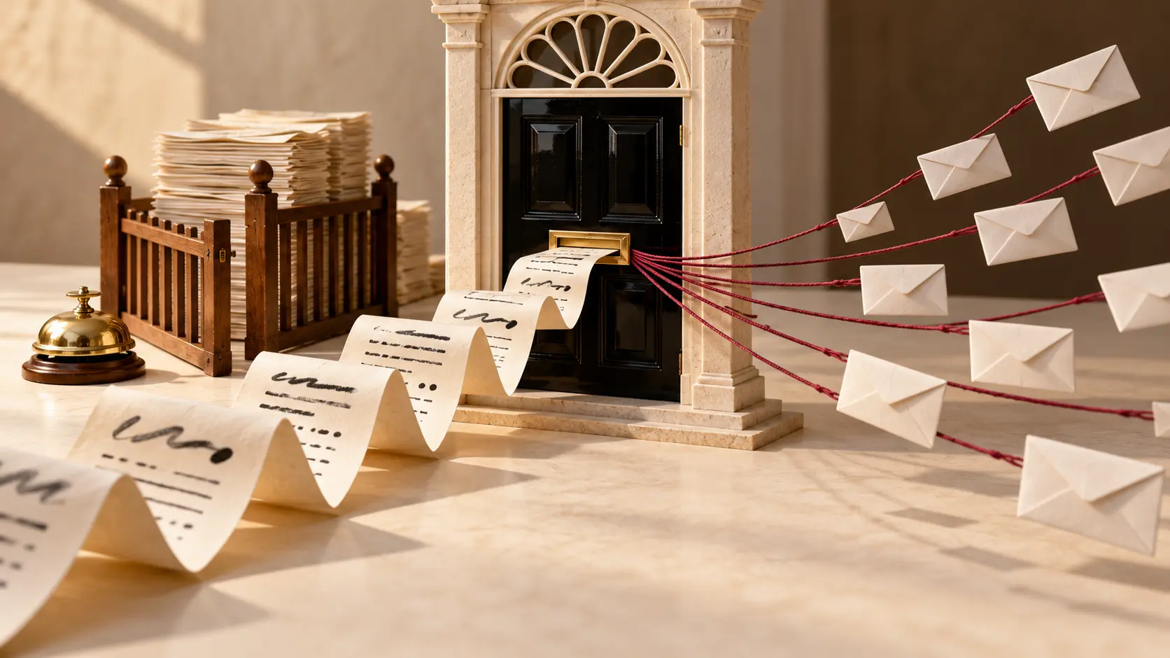
A mouse can point at a river with admirable confidence. Working out which hills drain into that point takes more preparation. Early StreamStats arranged for the browser to collect the credit while a considerable body of geographical work did the lifting.
The 2000 USGS fact sheet describes a web application developed with MassGIS. It offered a database of published statistics for 725 Massachusetts data-collection stations, plus an automated way to estimate flow statistics at other selected locations. A user could begin with a place on a map instead of assembling specialist software and the files to feed it.
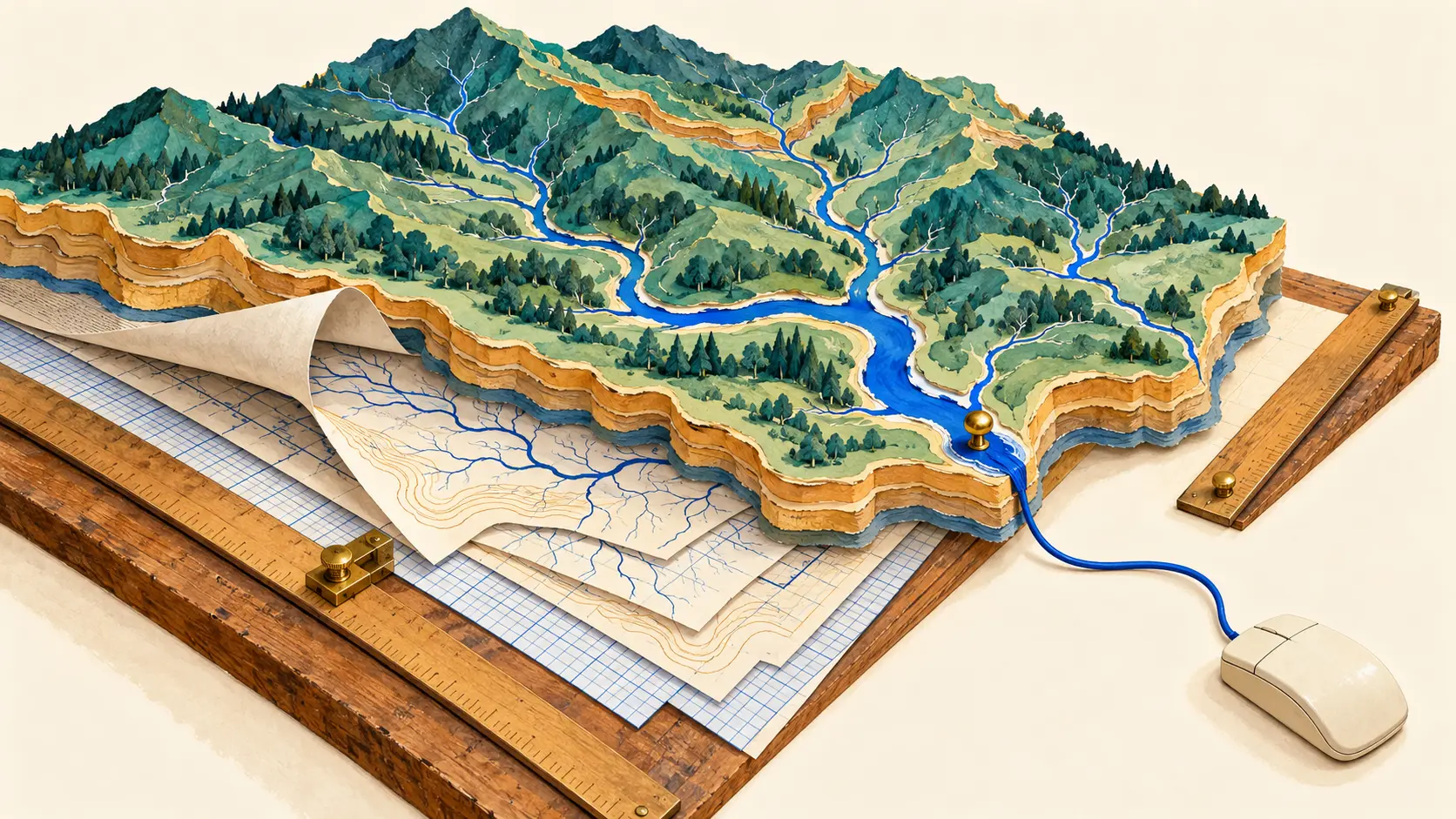
Those two routes involved different work. Select a station and the service retrieved existing statistics. Choose a location without observations and it had to define the upstream drainage basin, measure its characteristics and put those values into equations. The 2004 explanation follows this chain through to a browser window containing estimated statistics, error indicators and basin measurements.
The click landed on a prepared landscape. A digital elevation model supplied a grid of heights; a digital stream network helped define where the water ran. The elevation data could be adjusted to follow mapped channels and existing boundaries. Local USGS offices chose the source and scale of the layers. The apparent simplicity on screen rested on decisions made before anyone arrived with a mouse.
USGS's 2024 retrospective supplies some of the backstage detail. MassGIS did most of the work converting the existing ONEBASIN procedure into a script that could serve the early web application. The station database gathered information from 28 reports, many out of print. Even the river network needed preparation: lines through wetlands and water bodies connected stream reaches into a continuous system. A computer benefits enormously when somebody has already joined the river up.
The time saving could be substantial. The 2004 fact sheet described manual basin measurements taking from an hour to several days, depending on the basin and required characteristics; the web application could reduce the task to minutes. The labour had moved. A specialist's earlier preparation could now support many later requests.
Scaling that arrangement introduced a different geography. The national effort received initial funding in 2001. Its small central team needed state offices to prepare large datasets, and those offices needed cooperating agencies to share the bill. The retrospective records that federal contributions under these agreements could cover no more than half the work. Implementation generally waited for a cooperator. The next available map therefore depended partly on who could fund its preparation.
The returned numbers also carried the choices behind them. Estimates for unmeasured sites assumed natural flow; dams and withdrawals could alter the actual river. StreamStats flagged basin characteristics outside the ranges used to develop the equations. A useful result included its basin, method and error information alongside the attractive number.
StreamStats made the web a place to request a calculation about a location. Its neat trick was to put accumulated geographical expertise within reach of a click. Keeping that trick available meant paying attention to the people, data and agreements underneath the button.
Member Briefing
Deeper Profile Context
Sign in with the right membership level to unlock the full briefing and source notes.
Only for Strategic Circle
Strategic Circle
Open to all readers. Unlock profile briefings after joining and signing in.
Join Strategic CircleOnly for Leadership Alliance
Leadership Alliance
For qualified IP-asset owners and management; sign in to unlock alliance briefings.
Join Leadership Alliance