
Summary
- Ericsson's October announcement says its multi-year 6G positioning initiative with KTH and NTU gets underway in November 2026.
- Vinnova's record for a project with the same title and team lists a November 2025 start; its English and Swedish pages give different end months.
A positioning system can be described as trustworthy before it has proved where a robot is. The first test of this Ericsson–KTH–NTU initiative is therefore not only technical. Its public project clock also needs a clear reading.
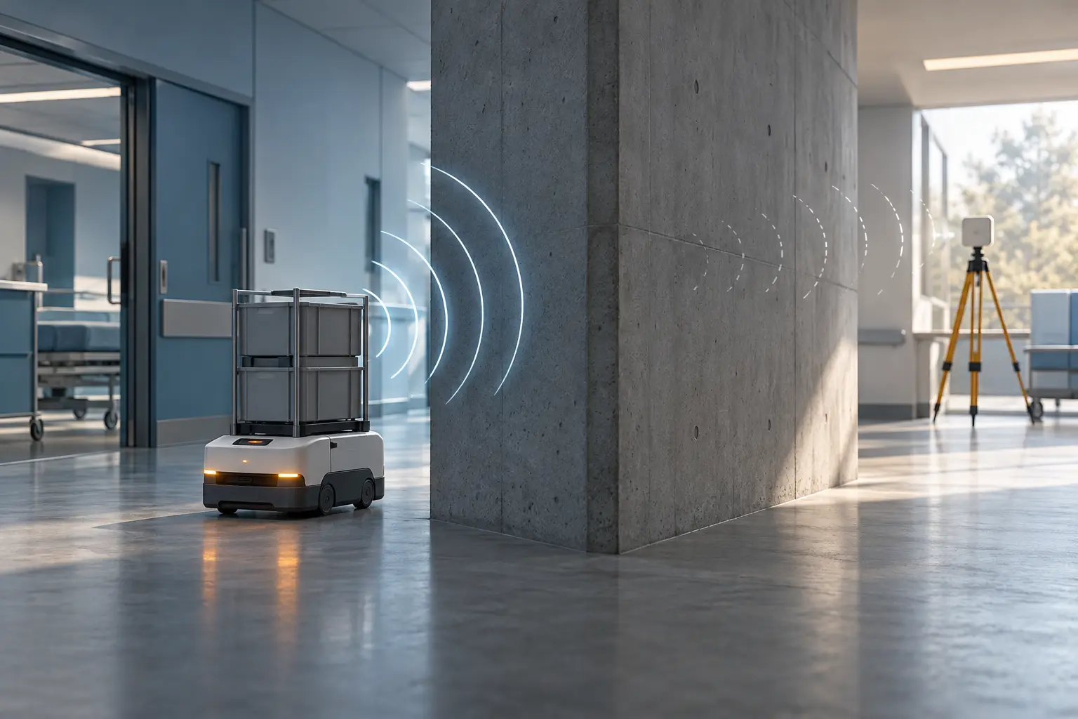
On 19 October, Ericsson announced “Trustworthy 6G Positioning in Complex Environments: A Data-Driven Approach,” a multi-year research effort with Sweden's KTH Royal Institute of Technology and Singapore's Nanyang Technological University. Ericsson says the project “gets underway” in November 2026. NTU's release describes the goal: locating robots, drones and other autonomous systems in difficult indoor and outdoor settings, including where signals are obstructed. These are intended capabilities, not reported field results. Ericsson's announcement and NTU's account both place the work at the research stage.
The same title appears in Vinnova's public funding register as project 2025-01681, coordinated by Ericsson AB and involving the same three institutions. The agency lists a contribution of SEK 2,999,999 and a project period beginning in November 2025. That amount is Vinnova's contribution, not a published total budget. The record describes the work as ongoing. The English entry says the period ends in April 2027; the Swedish entry gives July 2027 and was updated later.
The partner announcement and grant record may be describing different phases. The available records do not say so, however. Nor do they explain the different end months. This is a question for the partners and the funder, not evidence of a delayed project or false announcement. Vinnova also says the project description was supplied by the members and was not reviewed by its editors, a useful boundary when reading the technical ambitions on the grant page.
The register contains a more concrete research plan than the launch release: traditional time-of-arrival positioning, graph neural networks to classify line-of-sight conditions, automatic antenna-location calibration and robotic reference units for validation. Ericsson's release summarizes the method as combining established positioning with AI and automated calibration. Neither source publishes accuracy distributions, error bounds, failure rates or results from a completed trial. The announced sectors—healthcare, ports, manufacturing and emergency response—remain possible applications, not evidence of safe deployment.
That gap matters because location error can change a physical decision. A robot may need to stop near a person; a drone may have to distinguish a blocked corridor from an open route. A label such as “trustworthy” becomes meaningful only when a test shows how errors are measured, where the method fails and who can inspect the evidence. The releases identify useful ingredients for such a test, especially robotic reference units, but no acceptance threshold or validation protocol is public in the cited records.
The next useful disclosure is straightforward: explain whether November 2026 marks a field campaign, a new phase or a public launch; reconcile the Vinnova dates; and publish the milestones and test conditions. Without that, readers can see the project's ambition and partners, but not yet the chain from grant to result.
Member Briefing
Deeper Profile Context
Sign in with the right membership level to unlock the full briefing and source notes.
Only for Strategic Circle
Strategic Circle
Open to all readers. Unlock profile briefings after joining and signing in.
Join Strategic CircleOnly for Leadership Alliance
Leadership Alliance
For qualified IP-asset owners and management; sign in to unlock alliance briefings.
Join Leadership Alliance